Quinn Zimmermann · 8 October 2026
Underground Mycorrhizal Mapping Efforts Reveal Extensive Fungal Networks Supporting Old Growth Ecosystems
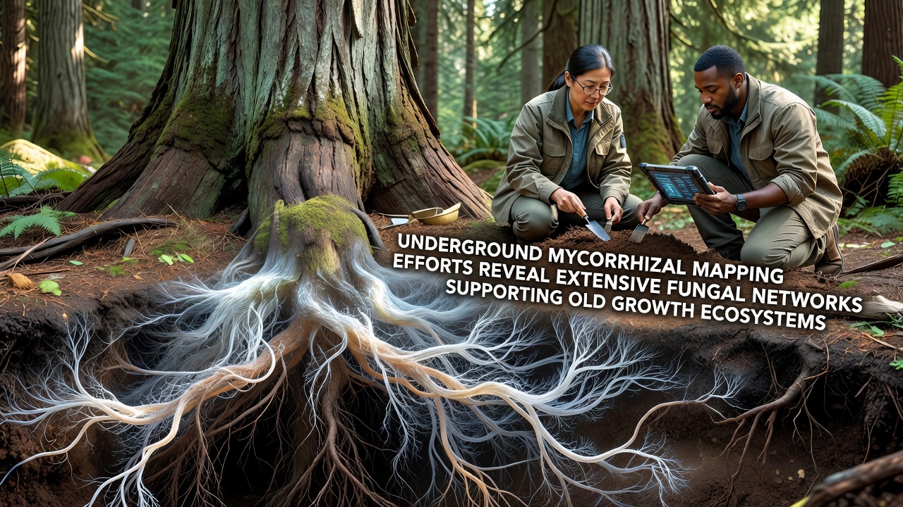
Teams of ecologists and soil scientists have expanded mapping projects that trace mycorrhizal fungi beneath old growth forests, and these efforts rely on soil sampling combined with DNA sequencing to chart the underground connections that link tree roots across large areas. Data from multiple sites show fungal networks extending tens of meters between individual trees, while genetic markers confirm the presence of shared mycelial strands that transport nutrients and water. In October 2026 crews finished a season-long survey in coastal redwood stands, where results indicated dense hyphal mats covering several hectares under a single stand of mature trees.
Techniques Driving Current Mapping Projects
Researchers combine traditional soil coring with modern tools such as ground-penetrating radar and environmental DNA analysis, and this combination produces three-dimensional models of fungal distribution without large-scale excavation. Portable sequencers allow field teams to identify fungal species on site, whereas laboratory follow-up confirms network boundaries through isotope tracing. Government agencies including the U.S. Forest Service have funded portions of these surveys, and similar work appears in reports issued by the European Environment Agency that document parallel efforts across managed woodlands in central Europe.
Mapping crews often grid sample at one-meter intervals, then interpolate data to estimate total fungal biomass, and the resulting maps reveal clusters where ectomycorrhizal species dominate conifer zones while arbuscular types prevail under broadleaf canopies. Equipment upgrades introduced in 2025 reduced processing time per sample by roughly forty percent, allowing crews to cover more ground within each field season.
Network Scale and Connectivity Patterns
Findings from completed surveys indicate that some individual fungal genets span more than forty meters, connecting roots of multiple tree species that differ in age and size. Isotope studies track carbon movement from older canopy trees toward younger understory saplings through these shared networks, and the transfers occur at measurable rates during both growing and dormant seasons. Observers note that old growth stands maintain higher fungal diversity indices than adjacent second-growth areas, with species richness values reported at two to three times greater in the former.
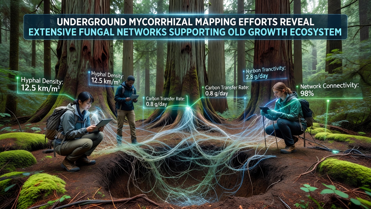
Canadian Forest Service datasets released in 2024 describe comparable networks beneath Douglas-fir and western hemlock stands on Vancouver Island, where core samples revealed overlapping fungal communities that link trees separated by logging roads constructed decades earlier. These patterns suggest resilience in connectivity even after surface disturbance, provided remnant root systems remain intact.
Nutrient Cycling and Tree Support Functions
Mycorrhizal networks facilitate phosphorus adn nitrogen redistribution, and measurements from labeled tracer experiments demonstrate that up to thirty percent of a tree's annual phosphorus uptake can arrive via fungal pathways rather than direct root absorption. In drought periods the same strands appear to move water from deeper soil layers toward shallower roots, although the exact volumes vary by fungal species and soil texture. Studies compiled by the Australian Department of Climate Change, Energy, the Environment and Water record similar water-sharing dynamics beneath eucalyptus forests in southeastern regions, where mapping confirms extensive linkages among mature stands.
Researchers document that certain older trees function as hubs within the network, supplying carbohydrates to neighboring plants during periods of low light or after insect defoliation events. The presence of these hub trees correlates with higher survival rates among seedlings in the immediate vicinity, according to repeated census data collected over five-year intervals.
Conservation and Management Applications
Mapping outputs now feed into forest management plans that designate protection zones around high-density fungal areas, and several jurisdictions require pre-harvest surveys before any ground-disturbing activity occurs. Data layers generated from these surveys integrate with existing geographic information systems used by land agencies, allowing planners to model potential network fragmentation under different harvest scenarios. International research collaborations continue to standardize sampling protocols so that results from North American sites can be compared directly with those from European and Australian projects.
Conclusion
Continued expansion of underground mapping programs supplies increasingly detailed pictures of fungal networks that sustain old growth ecosystems, and the resulting datasets support both scientific understanding and practical land-use decisions. Ongoing work scheduled through 2027 aims to extend coverage to additional forest types while refining methods for real-time network monitoring.